The land planner engages in a lot of work when the formal response is received from the government agency! This includes collecting proposals from a variety of consultants and hiring the right team members. All of this comes out of the "response" to the pre-submittal meeting with the government agency. The list will vary depending on the scope of the project. In a comprehensive project the list will include: a title report, exhibits, geotechnical report, phase I drainage study, survey, and a traffic study.
Title Report
The purpose of the title report is to identify the owner, legal descriptions, encumbrances (liens/ mortgages), and other public documents associated with the property. By identifying the owner, the government agency can confirm the applicant is the owner or is engaged by the owner. Most real estate has a mailing address but that isn’t important here. The legal description is what is most important from a title commitment or title insurance stand point. The title report will identify any mortgages that are secured by the property. Lastly, other public documents can include mineral rights and easements.
Exhibits
The exhibits for a rezoning project include a cover page and a map of the area. The cover page includes a vicinity map, legal descriptions, a variety of maintenance comments, and a certification from the surveyor and planning commission. The maps will include the existing parcels, elevation changes, drainage ponds, and easements. Exhibits are typically prepared by a civil engineer, and the cost can vary greatly depending on the scope of work.
Geotechnical Report
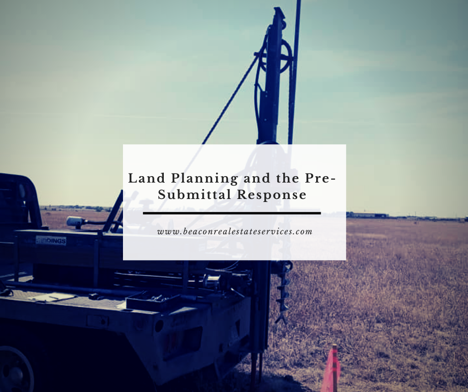
The geotechnical report is also known as a soil report. The Geotechnical Engineer will drill test holes through out the land, and they will provide an opinion regarding the type of soil, presence of ground water, foundation design, and street pavement design. This initial report typically takes 6-8 weeks to get so it is good to get it ordered as soon as possible. Certain types of soils are more likely to cause problems than others. In Colorado, we have a fair amount of expansive soils, so this could change the foundation design and cost significantly. Also, if a septic system will be used, the type of soil will determine the size of the leech field. There is an initial report so be prepared to order additional reports for each lot in the future.
Phase I Drainage Study
Another report needed is a Phase I Drainage Study. This report is also prepared by a civil engineer and contains detailed information regarding the feasibility and design characteristics of the site. By identifying elevation changes, drainage basins, and sub-basins the engineer can determine how storm water (rain fall and snow melt) will flow through the property. Most sites will need some kind of detention ponds and treatment before flowing into natural drainage areas.
Survey
The civil engineer will want a survey, so they can do the drainage study. In addition, they will want a topographical survey, so they have the necessary data to determine how water will flow over the surface of the land. The surveyor will review the title work and the legal descriptions to make sure they properly identify the property lines. Then they go out to the property and locate the property pins. In many cases the property pins are buried by dirt and have to be searched for with a metal detector and a shovel. In some cases the property pins cannot be located and a new pin (rebar with a plastic cap) is installed based on the legal description dimensions.
Traffic Study
A traffic engineer is hired to study the current road systems, capabilities, and limitations. This engineer will collect data from the government agency, the Department of Transportation, and they will likely lay the rubber tubes over the road to get actual traffic counts. Then they interpret the flow of traffic in the area and suggest improvements. The improvements may include stop signs, turn lanes, and/ or traffic signals. Furthermore, they will development a model with the likely changes of traffic volume over the next year, five years, 10 years, and 25 years.
Final Thoughts
All in all, the government response from the pre-submittal meeting is a very important part of the process. This response identifies the application requirements which are likely to include: a title report, exhibits, geotechnical report, phase I drainage study, survey, and a traffic study. A variety of consultants are needed in order to produce these reports include a surveyor, civil engineer, traffic engineer, and a soil engineer.